


Project Brief
High-resolution coverage for a 13,665 sq. km area
GSPEA supplied 0.5m-class satellite imagery across 13,665 square kilometres for Mari Energies Limited (formerly MPCL), giving exploration and planning teams a consistent, current spatial base.
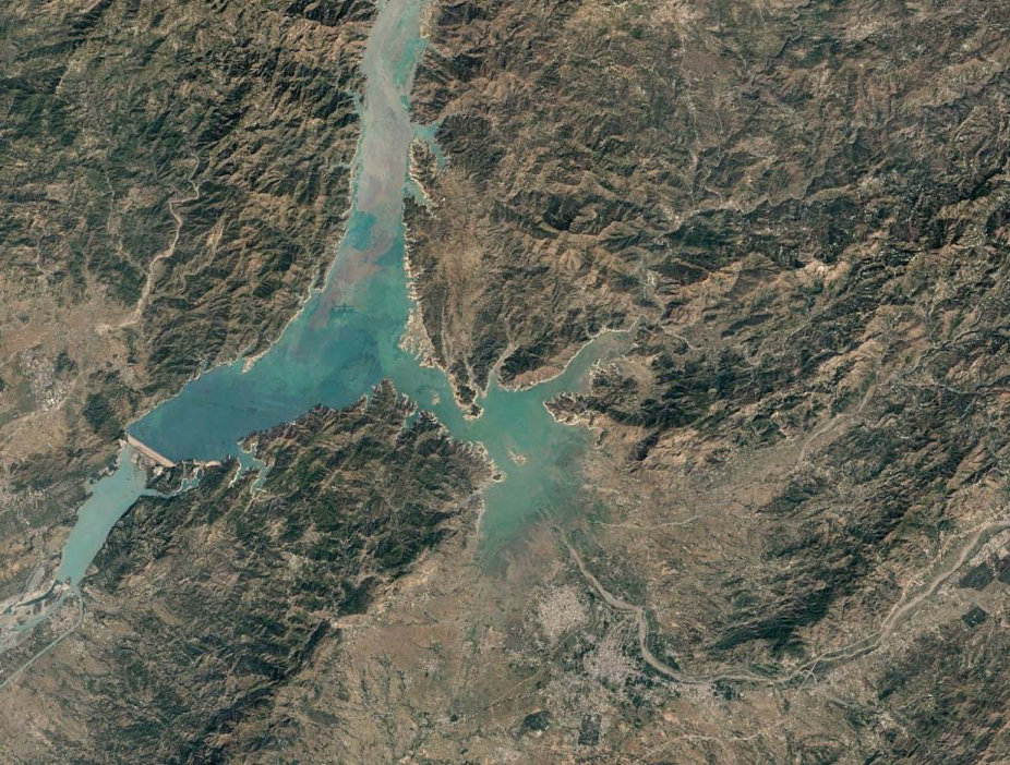
Acquisition was processed for engineering and GIS use, so the imagery could sit alongside existing concession and infrastructure data.
Ground control supported horizontal and vertical accuracy where the programme required it.
Lorem Ipsum Dolor Sit
54%
Duis Aute Irure Dolor
80%
Excepteur sint Occaecat
38%
Project Result
A single, high-resolution mosaic ready for mapping and analysis
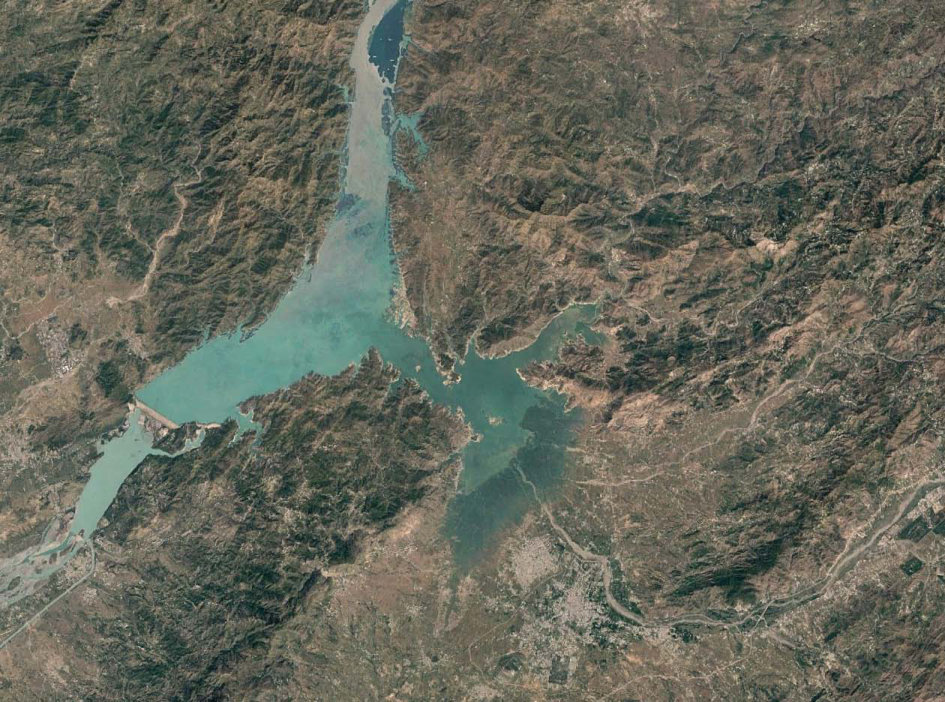
The client received analysis-ready 0.5m imagery covering the full area of interest, completed in September 2023.
A reliable imagery foundation for planning
The dataset supports ongoing exploration, facilities planning, and environmental interpretation without repeating acquisition.