Consultancy and Earth Observation services that turn spatial data into decisions
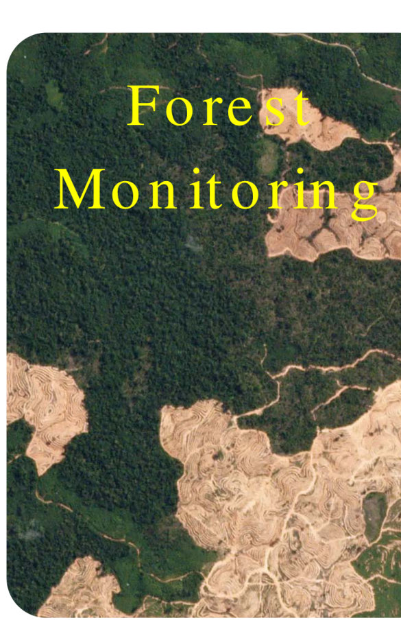
Forest Monitoring
Forest health, carbon stock, cover classification, afforestation/deforestation, and fire damage assessment.
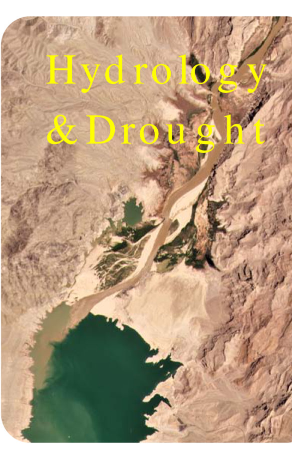
Hydrology & Drought
Dam siting, hydrological modeling, soil moisture, groundwater, irrigation networks, and watershed management.
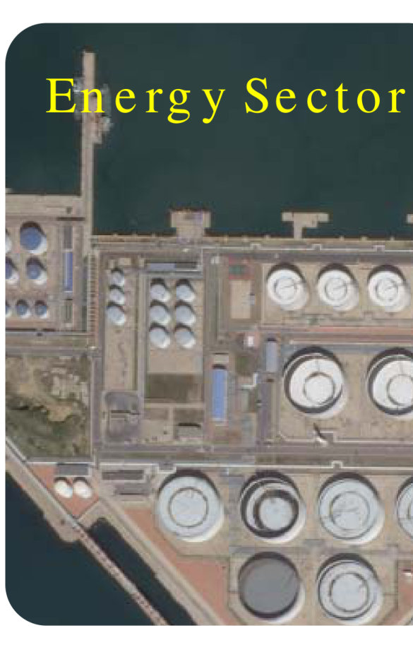
Energy Sector
Transmission lines, inter-grid connectivity, and route planning for power infrastructure.
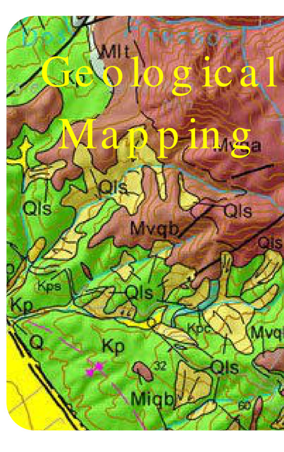
Geological Mapping
Rock-type classification, mineral prospection, lithological/structural mapping, and 3D modeling.
A full stack of geospatial products and services
Forest monitoring, hydrology, energy corridors, geological mapping, DEMs, urban planning, utilities, disaster assessment, land salinity, reservoir monitoring, land records, and Web GIS.er, data-driven decisions.